Thursday, December 15, 2016

Road Trip USA, Part 3


The Basin and Range, Nevada
To see more photos, click here

Part 3, Snowmass Colorado to Portland Oregon

In the United States, Labor Day Weekend marks the official end of summer, and nearly 30 million travelers celebrate the three-day weekend with a final road trip. We left Snowmass on the third leg of our cross-country journey on the day after Labor Day. Traffic was gone and children (not that we have anything against them) were safely back in their classrooms. 

The open road stretched before us across Colorado and Utah and into Nevada, where we would be setting up camp at Great Basin National Park. It's about a seven-hour drive, but we took a lot longer because the scenery is so spectacular that we found it impossible to pass by a single viewing spot. At every stop, you gaze out on the splendid effects of hundreds of millions of years of geological history. At the San Rafael Swell in central Utah, we could actually see where the earth's crust has been heaved up and then sculpted by time into jagged cliffs and deep slot canyons. To learn more about the geology of the area, read John McPhee's Basin and Range.  You can read an excerpt here.

An information plaque  told us of a darker history of the area, of a time when Native Americans were captured and sold into slavery. Another contained the lament of a Mormon woman, railing against the "wretched men who have sent us out to colonize this cursed landscape." 

The Great Basin covers parts of five states. The road sign on Route 21 leading west toward the park warned us of "no services" for the next 70 miles. No services turned out to mean no towns, no gas stations, no houses, no people, nothing but endless sage-covered valleys and narrow mountain ranges. Awe-inspiring but also a bit frightening in its isolation, the vista before us made it easy to imagine the dread of that long-ago Mormon woman.


We'd come to the park on the recommendation of our friend Stephanie, who grew up in the house next door to us in Ann Arbor. Her husband, Steve, is the park's superintendent. A glacier-carved marvel, Great Basin's beauty begins underground in its otherworldly limestone and marble Lehman Caves, and ends at the tip of the 13,063 foot high Wheeler Peak.
The ecosystem in between is so diverse that on the Park's 12-mile scenic drive, you traverse the same variety of environments as on a road trip from Nevada to the Yukon. Two things Great Basin doesn't have are bears and mosquitoes, which, in itself, is reason enough to go there. (To read about our earlier encounter with bears, click here to read Travel Oyster's "Bears in the Night.")

We arrived late and pitched our tent in Baker Creek Campground, right next to the babbling brook. After dinner, we sat in a clearing and watched as night descended. Great Basin has some of the darkest night skies in the United States, providing the perfect background for stargazing.  During the summer, there are astronomy programs, but tonight we were alone with the stars, millions of them shining brightly, forming constellations, and tumbling through the endless sky. 


Not nearly as old as the stars, but among the oldest living organisms on earth are the park's 2,000 to 3,000-year-old Bristlecone Pines. Oddly enough, the trees live just at the tree line where conditions are harshest. A paean to the beauty of old age, the time-sculpted trees would nonetheless be perfectly at home in a museum of modern art. We ate a picnic lunch among the pines, and then hiked up to the park's spectacular rock glacier. From its lofty heights, you can see for miles down the mountain to the basin and on to the next range of mountains.


The next day we drove in to Baker, the very small town just outside the Park, where JR gave a math talk to the enthusiastic students in the one-room schoolhouse. That evening Steve and Stephanie brought elk burgers to our campsite and we cooked them over a wood fire. Afterward, Steve treated us to a personal tour of Lehman Caves, a geological wonder  discovered in the 1880s.  


On our last day in the park, we hiked six miles to Baker Lake to do some trout fishing. It's a tough 3,000 foot climb, but we were rewarded with beautiful views, fall colors and a silently flying Goshawk who glided by us practically at eye level. When we arrived at the lake, a Golden Eagle lifted up from the shore and best of all, the lake was alive with feeding trout. The water is so crystal clear that we could see the trout racing each other across the lake to snap up our fly. Dinner that night was fresh grilled fish.  


We left the next day bound via a circuitous route for Portland Oregon. Our first stop was the Craters of the Moon National Monument in Idaho, a 52-mile stretch of fantastical black lava fields. Remnants of an ocean of volcanic rock that once covered 618 square miles (1600 sq. km), they began forming 15,000 years ago when a long series of eruptions caused lava to well up from the Great Rift.  

We spent the night in a motel (with showers) in Arco, Idaho. It was there in 1951, thanks to the nearby National Reactor Testing Station, that Arco became the first town in the world to be lit by electricity generated entirely by nuclear power. 


Next, we headed in a northern arc through the Sawtooth Mountains. Unfortunately, a huge wildfire had preceded us and burned more than 65,000 acres of national forest. Our sadness at the destruction of the forest was softened by a campground on the Middle Fork of the Payette River, with perfect hot springs where we soaked after breakfast.  


Our last stop was a remote spot in eastern Oregon recommended by our son for its beauty and great trout fishing. Without his detailed instructions, we would never have found this place on the edge of Oregon's Wallowa Mountains. Apparently no one else could find it either. The beautiful, six-site campground was empty so we picked the best campsite and fished for two days under beautiful sunny skies, keeping just enough fish for our evening meals.

Then it was on to Portland for the best part of the whole trip - the birth of our our first grandchild. The other grandparents, who just happen to be our dear friends Gerard and Marcelle, flew in from Paris, making it a special family time.  

(Long-time readers of Travel Oyster may remember Marcelle as my partner in several Travel Oyster adventures, such as Biggest Show in Paris, Paris Under Paris and The Path of the Impressionists, among others.)


To be continued....

To see more photos, click here.


Geraldine

Photos by Geraldine Calisti Kaylor


Tuesday, November 29, 2016

Road Trip USA, Part 2


Rocky Mountains looking eastward from Independence Pass


Part 2, Denver to Snowmass Colorado

We left Denver on a fine, late-summer day heading to Snowmass. Instead of the Interstate highway, we opted for "The Top of the Rockies National Scenic and Historic Byway." The byway winds through an area whose recent history is written in its place names - Cooper Mountain, Leadville, Gold Dust Mountain - names that attest to the area's mining boom in the late 1800s. The land was traditionally the hunting grounds of the Ute Indian tribe and before them to hunter gatherers stretching back to prehistoric times.

One hundred and fifteen miles long from end to end, the byway leads up and over the Rocky Mountains through Independence Pass and then down into Aspen Colorado. Although well paved, the road's hairpin turns and precipitous drop-offs make for slow going, but slowing down and getting off the beaten path is the essence of the Great American Road Trip. As we climbed, clouds rolled in and the temperature dropped, but we were spared the summer storms and snow that can fall on any day of the year.  


The byway is the highest paved state highway in Colorado, reaching its apex of 12,096 feet at Independence Pass and the Continental Divide. We stopped and hiked out beyond the crowded viewing site. From our wind-swept, treeless, westward-facing vantage point, we could see the line of mountains where the waters of the continent part ways. 


In the natural course of events, all the rivers and lakes to the east of the Rocky Mountains flow to the Gulf of Mexico and the Atlantic Ocean; all those to the west flow to the Gulf of California and the Pacific Ocean. In the West, as in many parts of the world where water has become the new gold, nature has very little say over rivers. In Colorado, 80 percent of the precipitation falls on the western side of the Rockies, but 80 percent of the population lives on the eastern side. Huge tunnels, dug through the mountains, divert the river waters from one side and move it to the other.  


Just a few miles from Independence Pass are the headwaters of the Roaring Fork River. According to the Colorado Water Trust, "at times, more than 90 percent of the native flow of the Roaring Fork is diverted from the river for trans-mountain delivery to the Front Range." The mighty Colorado River, which provides water to 40 million people in seven western states, is dammed and diverted in so many places that today only one percent of its water actually reaches the sea.  

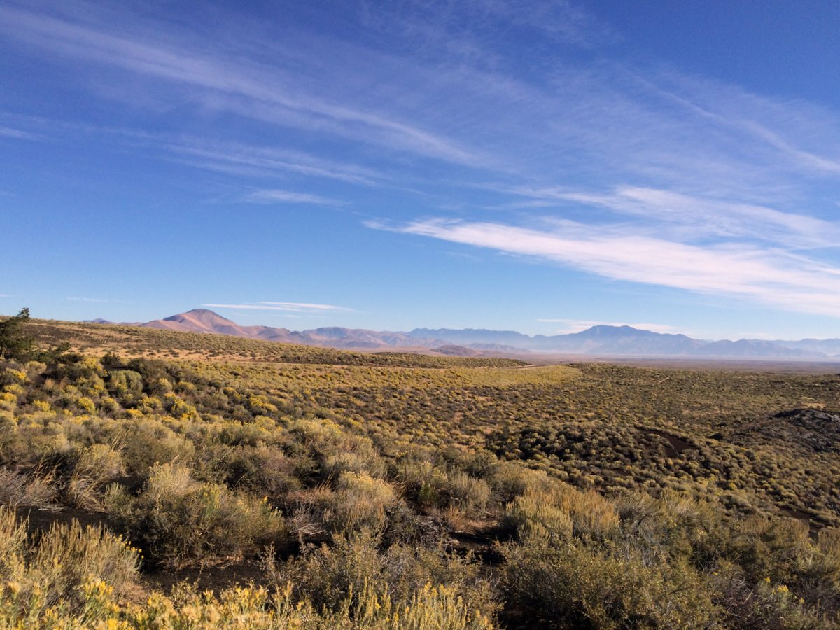
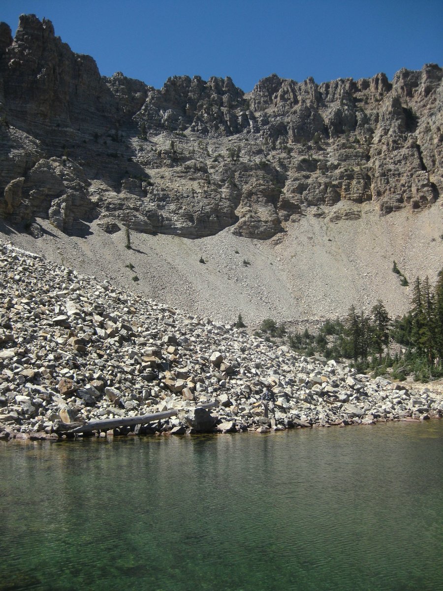
None of this diminished state is obvious to us as we drive down the mountain toward Aspen, crossing and recrossing the Roaring Fork. It is a beautiful, fast-flowing stream, known for its great trout fishing, and farther downstream for its white water rafting. As we descend, the wind-swept, treeless summit gives way to confer forests and then to the delicate quaking aspen trees that give the town its name. 

Like many towns in the region, Aspen got its start as a mining town. By 1891, the town had railway and tram lines, electrical power throughout the city, and a municipal water system. Fancy hotels, restaurants, and an opera house lined its downtown. Aspen was flooding the market with silver, producing one-sixteenth of all the silver mined in the world. Under pressure from influential mine owners to keep prices high, the US Government enacted the Sherman Silver Purchase Act. During its three years of existence, the Act required the US Treasury to make a monthly purchase at market price of 4,500,000 ounces of silver.

When the Act was repealed in 1893, the silver market crashed and Aspen began its decline into what are known as "The Quiet Years." Then after World War II, veterans of the Army's Tenth Mountain Division brought the rapidly growing sport of alpine skiing to Aspen Mountain. They used their war-gained skiing experience to lay out ski trails, and build ski lodges and lifts. With its abundant, feather-light snow, and a beautiful town at its feet, it was an area just waiting to be developed. Today, it's a world-class skiing resort. 

Other towns were not so lucky.  On our way down the mountain, we passed Independence, the first thriving community in the Roaring Fork Valley. Today it's a ghost town, maintained by the Aspen Historical Society.  

As we drove through Aspen on this late August, day, the town was uncrowded and lovely - a bit like a college town when the students are not there.  We drove on, headed for nearby Snowmass, where we are lucky enough to have family. No roughing it for us - our nights for the next week would be spent in a lovely, soft bed with spectacular views of the mountains just out the window. Hiking, biking and lots of good food and good times were on the menu. 

To read more about the Aspen/Snowmass area and to see photos, check out this Travel Oyster Blog, Colorado Outdoors.

Next we'll be heading across Utah and on to Great Basin National Park in Nevada where the real outdoor adventure begins.


Geraldine


Our route - starting in black and returning in yellow.  6,500 miles (10,500 km)

Friday, November 4, 2016

Road Trip USA, Part 1


Our route - starting in black and returning in yellow.  6,500 miles (10,500 km)

Part 1 - Ann Arbor Michigan to Denver Colorado


There is a famous old American advertisement that features Dinah Shore singing "See the USA in your Chevrolet." The ad is designed to sell Chevys, but it also encapsulates the dream of lots of Americans to jump in their car and take to the open road.  


Last February, when JR and I learned that we would be grandparents for the first time, we knew that come September we would be in Portland Oregon for the big event.  Whenever we visit Portland, we fly across the country, catching only glimpses of wide-open plains and high mountain peaks.  This time, why not unearth our trusty two-person tent, pack the car and hit the road?  

So late in August, with a borrowed car-top carrier and the entire car stuffed with camping and fishing equipment, strollers, high chair and other baby paraphernalia, we left Ann Arbor bound for our first real stop, Colorado. (To read Travel Oyster's Ann Arbor blog, click here.)

We began by traversing the rolling hills of southern Michigan; skirting the edge of Lake Michigan; bypassing Chicago near the once-great, but now down-trodden steel town of Gary, Indiana; and rolling on through Illinois, Iowa and into Nebraska. For a good part of this segment of our trip, we were on Interstate Route 80, a transcontinental highway that begins in Teaneck, New Jersey and ends 2,900 miles (4,668 km) later in San Francisco, California.  


Driving 1,228 miles (1,976 Km) in two days doesn't leave much time for photos or sightseeing   As a result, all I remember of Iowa are the themed highway rest stops set amidst endless fields of corn. In 2015, Iowa farmers grew 2.5 billion bushels of corn, making it the #1 corn-producing state in the US.  If you're looking for a nice sweet ear for your campfire dinner, however, you can pretty much forget it since only one percent of all those bushels is grown for human consumption. The rest is used for fuel, animal feed and a surprising number of other products, from automobile spark plugs to toothpaste. 


We tested our camping skills that first night at the Platte River State Park between Omaha and Lincoln, Nebraska's two biggest cities. Fittingly, we set up camp not too far from what was once The Great Platte River Road. Originally a Native American trail, the road was a convergence point in the mid 1800s for several westward trails, including the Mormon Trail, the California Trail, and the Pony Express Trail. During its peak years of 1841 to 1866, an estimated 250,000 travelers followed the road heading west. Today's Route 80 runs over a portion of the trail. 

Even though it was still August, the park was empty and we had our choice of campsites. Our dinner was Fish people's wild salmon in chardonnay sauce, which we served over couscous. The Oregon company uses only American wild-caught fish from sustainable species. To prove it, you can even trace the origins of your very own fish on their website Fishpeople dinners are great for busy professionals, but the vacuum-packed meals, ready after three minutes in boiling water, make perfect and delicious camping food. It rained during the night, but our tent, older than I care to admit, kept us dry and comfortable.  

Nebraska is sometimes referred to as the state where the West begins.  As you drive westward, you leave behind the green, gently rolling hills and enter the High Plains, an area of semi-arid range land dotted with cows as far as the eye can see. The State has more than three times as many cows as people (1,868,515 humans, 6,150,000 cows). It ranks second only to South Dakota where the ratio is more than 4 to 1. 


As we dipped southward into Colorado, the road continued to climb. By dinnertime, we pulled into Denver. The city came into existence in the 1858 Colorado Gold Rush with the arrival of 107 prospectors. The party set up camp on Cherry Creek at what is now Confluence Park in downtown Denver. By the next year, Horace Greeley, the American newspaper editor, described Denver as a "log city of 150 dwellings, not three-fourths completed, nor two-thirds inhabited, nor one-third fit to be."  


By 1861, the gold rush was over and Denver, like many other towns in the area, could have become a ghost town. Events certainly seemed to be conspiring against it. Over the next few years, the town's business district burned to the ground; Cherry Creek flooded, killing 20 and causing millions of dollars of damage; and an Indian war broke out, cutting off Denver's supplies.  Somehow Denver survived and continued to reinvent itself. By 1870, it was thriving as a western railroad service and supply center. The town had an opera house, luxury hotels and a millionaire's row of mansions.  It's mile-high setting with a stunning backdrop of the Rocky Mountains continues to attract newcomers, and today, Denver is the one of the fastest-growing big cities in America.   


We spent the weekend with our nephew Josh and his finance Carolyn in nearby Aurora. A senior draftsman with a local science and technology company by day, Josh is a guitarist by night in the regionally-popular rock band Stereoshifter.  You can check out their music here.

Stereoshifter wasn't playing on the Saturday we were visiting, so we decided to spend the evening in downtown Denver. We took the light rail train in Aurora and arrived about 20 minutes later at Union Station in the heart of downtown. For its 100th birthday in 2014, the station underwent a $54 million renovation. Amtrak trains and light rail trains arrive at the station's lower level while the main lobby has been turned into what the planners call Denver's living room. In spite of its 65,000 square-foot size, the Beaux-Arts lobby has an intimate feel with tasteful groupings of sofas, wing chairs and soft lighting. Travelers with suitcases and groups of Saturday night revelers mingle together, sipping locally-made craft beer; working on computers; or waiting for a table at one of the station's many restaurants. The station also hosts lots of locally-owned stores; an artisan food market; and the lobby of the elegant Crawford Hotel.  


Our dinner reservation was at nearby Vesta, a restaurant known for its grilled meats, accompanied by a selection of dipping sauces. Maybe it was a reaction to all those cows we had seen that led me to order garlic grilled scallops, but, to my pleasant surprise, they were among the best I have ever eaten. When we mentioned that we were celebrating Josh and Carolyn's engagement, the waiter quickly arrived with congratulations and complimentary glasses of champagne. 

One of the attractions of Denver is that it is a big city with beautiful nearby nature. On Sunday, we explored Red Rocks Park. Once a traditional Ute tribe camping ground, the area is filled with fantastical red sandstone outcrops. In 1941, the City of Denver added the Red Rocks Amphitheater, an outdoor concert venue.  The day we were there, the Amphitheater was featuring Reggae on the Rocks and by mid-afternoon, the natural beauty of the red rocks was augmented by the colorful outfits of thousands of reggae fans.  

We bid goodbye to Josh and Carolyn the next morning, but we'll be back in Denver next June for their wedding. Ahead of us was a crossing of the Continental Divide and our next stops, Snowmass Colorado and Great Basin National Park in Nevada.

To be continued...


Geraldine


Photos by Geraldine Calisti Kaylor